Transforming industries with intelligent UAV technologies for precision agriculture, aerial surveying, infrastructure inspection, environmental monitoring and smart data collection.
Aero Engineering Technologies Private Limited (AET) delivers innovative drone solutions that enable organizations to collect high-quality aerial data, improve operational efficiency and make better decisions. Our drone services combine advanced UAV platforms, artificial intelligence, GPS technologies and data analytics to support agriculture, infrastructure, utilities, construction, environmental management and industrial operations. From crop monitoring and aerial mapping to asset inspection and remote surveillance, AET provides end-to-end drone solutions tailored to customer requirements while ensuring safety, reliability and regulatory compliance.
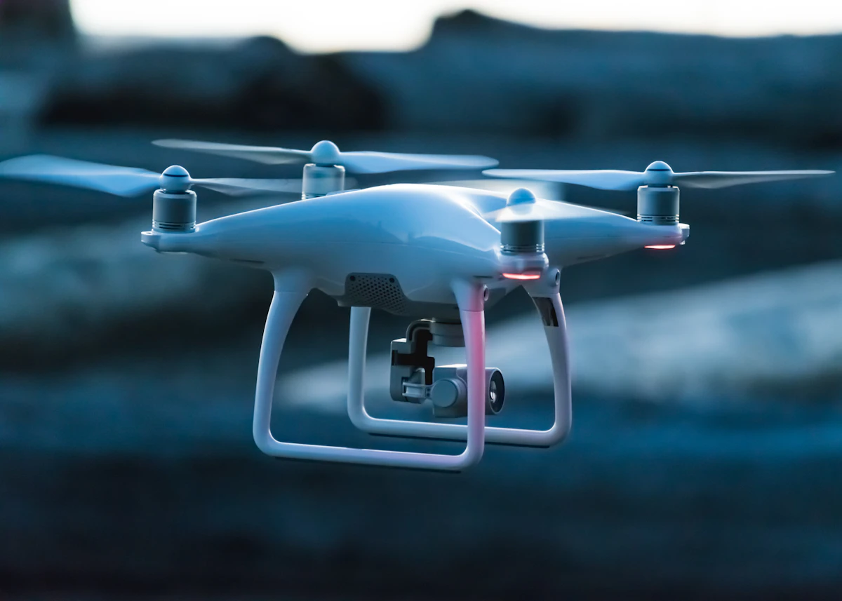
Modern drone technology provides rapid access to accurate aerial information, helping organizations improve productivity, reduce operational costs and enhance safety. UAVs can efficiently monitor large areas, collect real-time data and support informed decision-making across multiple industries.
AET provides intelligent drone solutions that help farmers maximize crop productivity while reducing operational costs. Using high-resolution aerial imagery, GPS technology and AI-assisted analytics, our agricultural drones enable precision farming practices that improve yield and optimize resource utilization.
Our UAV-based surveying services deliver accurate aerial mapping solutions for land development, infrastructure, construction and environmental projects. Drone surveys provide rapid data acquisition while minimizing field work.
AET utilizes advanced UAV technology to monitor crop health, identify stressed areas and support targeted spraying operations. Precision application helps reduce chemical consumption while improving field coverage and operational efficiency.
Drone technology enables faster field inspections, more accurate crop assessment and data-driven farming decisions. Farmers benefit from timely insights, optimized resource utilization and improved operational planning throughout the crop lifecycle.
Inspect large agricultural fields in a fraction of the time required by conventional methods.
Optimize the application of water, fertilizers and crop protection products through precision operations.
Use aerial imagery and field intelligence to support informed crop management throughout the growing season.
Increase agricultural efficiency through timely monitoring, early issue identification and precision farming practices.
AET provides drone-based inspection services for infrastructure assets, enabling safe, efficient and cost-effective condition assessment without disrupting ongoing operations.
Drone technology enables rapid inspection of utility infrastructure, helping organizations monitor assets, identify maintenance requirements and improve operational reliability.
AET supports construction companies with periodic aerial surveys that provide accurate project documentation, progress tracking and site visualization.
Drone technology provides an efficient way to monitor natural resources, environmental conditions and large geographical areas. High-resolution aerial imagery supports informed decision-making for environmental management and sustainability initiatives.
Track vegetation, monitor forest health and support conservation activities.
Monitor lakes, reservoirs, canals and river systems using aerial imaging.
Support environmental studies through terrain analysis, land-use mapping and aerial documentation.
Collect accurate aerial information for planning, research and environmental management.
AET transforms aerial imagery into actionable business insights using modern image processing, GIS technologies and data analytics. Our reporting solutions help organizations make informed decisions based on accurate aerial information.
By combining Artificial Intelligence with aerial imagery, AET helps organizations automate inspection workflows, identify patterns and improve operational decision-making.
Every project has unique operational requirements. AET works with customers to develop customized drone-based engineering solutions that address specific application needs across multiple industries.
AET provides consulting services to organizations planning to adopt drone technologies. We assist customers in selecting appropriate platforms, designing workflows and integrating drone operations into their existing business processes.
Guidance on selecting suitable drone platforms and implementing UAV-based solutions.
Planning efficient drone missions for surveying, inspection and agricultural operations.
Orientation and operational guidance for organizations adopting drone technologies.
Continuous engineering support for customers deploying drone-based workflows.
From planning and aerial data acquisition to analytics and engineering support, AET delivers complete end-to-end drone solutions.
High-resolution aerial imagery and precise GPS positioning provide reliable information for better decision making.
Integrating Artificial Intelligence and digital analytics helps transform aerial images into meaningful business insights.
A multidisciplinary engineering team dedicated to delivering safe, reliable and customer-focused UAV solutions.
Precision spraying, crop health monitoring, yield estimation, field mapping and smart farming solutions.
Bridge inspections, building assessments, construction monitoring and project documentation.
Inspection of power lines, substations, renewable energy facilities and utility corridors.
Topographical surveys, GIS mapping, digital terrain models, orthomosaic generation and land development.
Forest monitoring, water resource management, vegetation analysis and environmental surveys.
Urban planning, infrastructure documentation, traffic studies, asset monitoring and municipal engineering.
Whether you are looking to improve agricultural productivity, conduct aerial surveys, inspect infrastructure or deploy AI-enabled drone analytics, Aero Engineering Technologies Private Limited provides reliable, innovative and scalable drone solutions tailored to your business needs.
Drone technology is revolutionizing the way organizations collect information, monitor assets and make operational decisions. With rapid advancements in Artificial Intelligence, automation and digital analytics, UAVs have become an essential tool across numerous industries.
AET combines engineering expertise, advanced drone platforms and intelligent analytics to deliver innovative solutions that help organizations improve efficiency, reduce costs and achieve better outcomes.
From agriculture and infrastructure to environmental monitoring and smart city applications, our commitment is to provide professional drone services that create measurable value for our customers.